
curl -X 'GET' \
'https://demo.pygeoapi.io/master/collections/lakes/items?limit=10&skipGeometry=false&offset=0' \
-H 'accept: application/geo+json'
Testimonials
Voices from the community on building with OGC Standards.
Get Started
Each Standard addresses a specific type of geospatial data or associated resources. Interfaces define how services can access the data, while encodings define the structure and organisation of data formats and messaging protocols. Browse the list bellow to find the one that matches your needs.
Interface Standards provide rules that determine the operations in a server–client architecture. For instance, web mapping applications, orWeb GIS, fit into this pattern, where an interface is used to request maps from a map service provider.
 Published
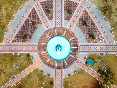
Interface for tiles of geospatial information (e.g. vector data, maps, or coverages).
 Published
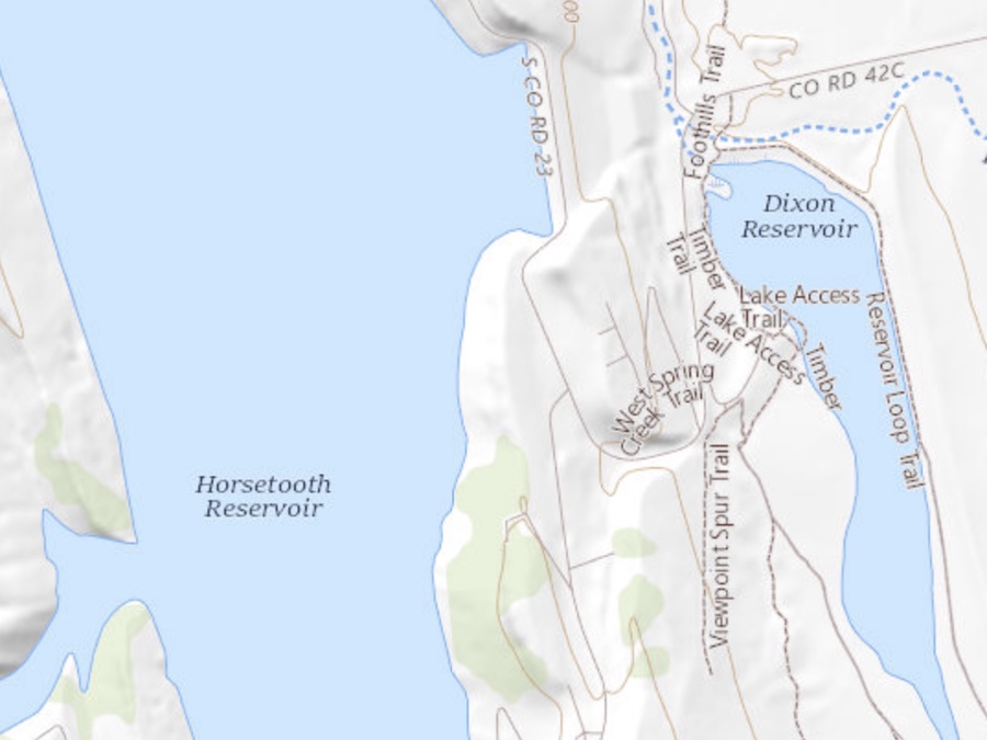
Interface for feature data.
 Published
Interface for spatially enabled IoT devices, data, and applications.
 Published
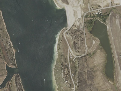
Interface for maps, customized using parameters (dimensions, background, CRS).
 Published
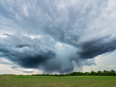
Interface for sampling data about the natural or built environment using a spatio-temporal query pattern.
 Published
Interface to access representations of Moving Features.
 Published
Interface for wrapping computational tasks into executable processes. Processes include well-defined algorithms that ingest vector and/or coverage data to produce new datasets.
 Published
Interface for discovering geospatial information on the web.
 Published
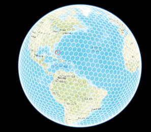
Interface for global grid systems and their associated data.
 Published
Interface for interacting with connected systems (sensors, drones, robots) and associated resources.
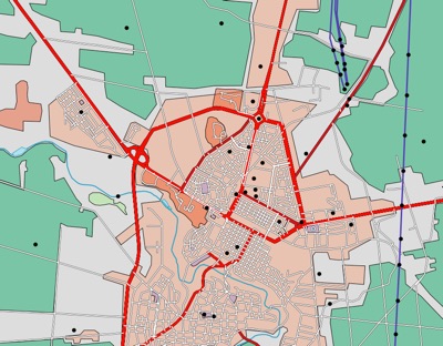
Interface for styles used to render geospatial data.

Interface for 3D geospatial data.

Interface for accessing homogeneous collections of values located in space/time — a satellite image is an example.

Interface to request routes independent of the underlying routing data set, engine, or algorithm.

Interface to join data from input files with tabular data from other sources.
Looking for the previous generation of OGC Web Services (e.g.: WFS, WMTS, WMS)?
 Published
OGC Features and Geometries JSON extends GeoJSON to overcome some of its limitations.
 Published
For imagery and grid coverage data on the web — backwards compatible with GeoTIFF.
 Published
Store different types of geospatial information (vector data, attributes, metadata, styles) in a single container.
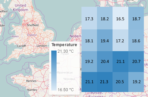 Published
Simple, efficient, machine- and human-readable JSON for publishing spatio-temporal data to the Web.
Columnar geospatial format based on Apache Parquet, enabling interoperability between cloud data warehouses.
Learn
This workshop provides a combination of concepts, presentations, and exercises on OGC APIs in support of discovery, access, visualization, and processing — in support of FAIR data principles.
Visit workshop →This learning platform offers different courses, mostly focused on Spatial Data Infrastructures.
Visit academy →More Resources
A web-accessible source of information about things ("Concepts") the OGC defines or that communities ask the OGC to host, such as technical terms from application schemas.
Explore →Maybe you don't need a complete OGC API, or you need to mix multiple OGC APIs. OGC APIs are developed in discrete building blocks you can mix & match to spatially enable your existing APIs.
Explore →The OGC Compliance program provides tools to test your implementation and confirm it's compliant to the Standard. Take your application further by applying for a compliance certification.
Explore →Community
Connect with the developers building the future of open geospatial standards.
Collaborative and inclusive events supporting the development of open geospatial Standards, and projects that implement those Standards.
Learn more →#OGCAPI related content in a constructive and inclusive social network for software developers.
Read posts →Chat with other developers and take an active part in the code sprints in the OGC Community channel.
Join server →Ask questions and interact with other developers in the "Developers" space of Agora.
Visit Agora →OGC Standards are developed through a member-driven consensus process, which creates royalty free, publicly available, open geospatial standards. The Open Geospatial Consortium (OGC) is the organisation which drives this process. It is supported by an active community of members, with involvement from a large range of organizations, as well as smaller ones.
Join OGC today!